
Surveying
Surveying & level coordination
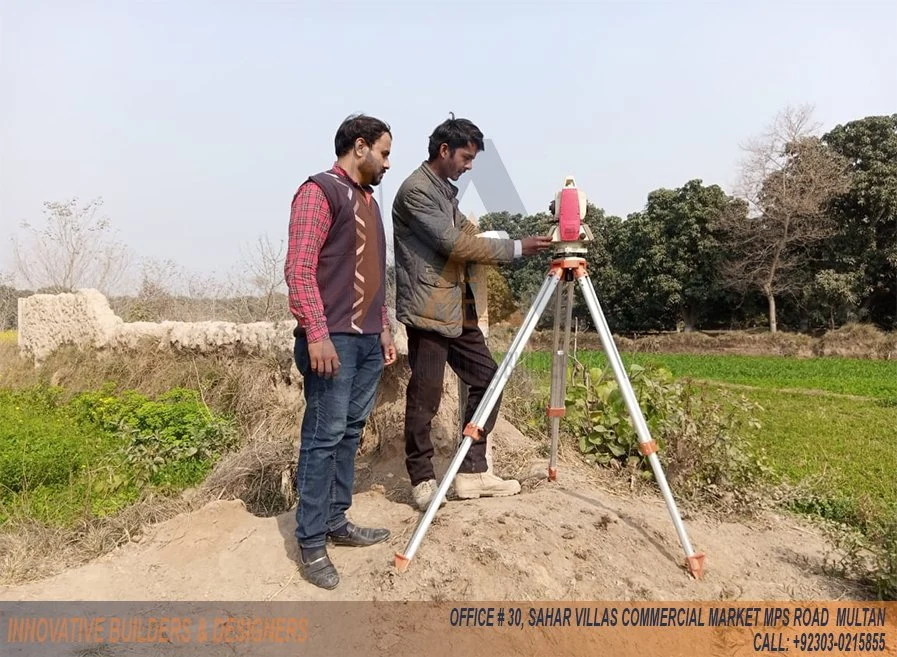
Field information connects site boundaries and levels to a defined survey reference. It supports drawing review, external works and utility interfaces, with measurement requirements coordinated between surveying, design and delivery teams.
FOR YOUR NEXT PROJECT
Planning a similar scope?
Share the intended use, site, available drawings and required finishes or deliverables. The team reviews disciplines, interfaces and delivery requirements, then defines inclusions, dates and responsibilities in a proposal for your project.